
Documenting the Changing Face of Our Built Environment
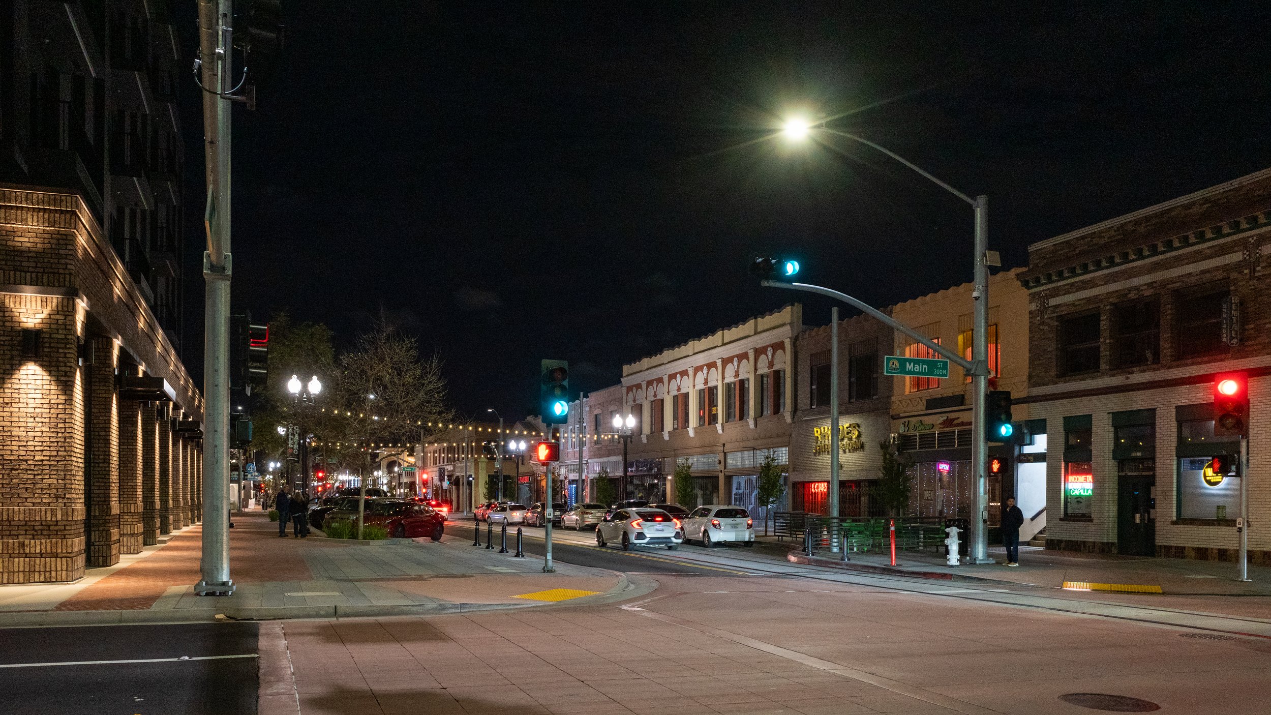
I’m an avid amateur photographer and I’m fascinated by the intersection between photography and our built environment, especially historic photos of the cities and towns I’m familiar with so I can see where we’ve come from and how quickly things can change.
It’s interesting comparing the different feelings historic and contemporary photos evoke. The only real difference is the passage of time, but the feelings one feels looking at them are so much different. I am sure that people looking at those historic photos when they were new felt much the same as we do today looking at current pictures. In many ways, the subjects of photos probably weren’t that interesting since they were seen daily. It is just with time that they become interesting.

Watching the movie Lost in Translation is a great example of this. The movie still feels recent, even though it’s already more than twenty years old, but it shows a Tokyo that simply doesn’t exist anymore. All of that neon has been replaced by LEDs. There was recently a great exploration of this changing image of cities in cinema focused on Los Angeles and Hong Kong that dove into this in more detail. It focused on the changing sources of light in our cities, but it’s equally true for the city as a whole.

Today, we have more photos and video of our built environment that we ever have before, but in some ways, we are also more restricted in the photos we can capture. In the most recent issue of Torched, Alissa Walker’s new newsletter about the 2028 LA Olympics, she linked to some photos from LAX’s Flightpath Museum of the construction around the airport in the run up to the 1984 LA Olympics. Many of the aerial photos in that online exhibit would simply be impossible to take today.

The explosion of commercial drones has led to ever-increasing restrictions on where people can fly to document our cities. Every bit of color on this drone facilities map is a place with flight restrictions that make it difficult to take aerial photos of our cities. Combined with the blanket prohibition of flying over moving cars and people, I’m surprised we see as many aerial photos of our cities as we do.
As Orange County changes, and throughout my travels, I’m trying to be mindful of documenting the built environment we have today so that we can look back decades from now to see where we came from. Many of these photos I’m capturing today feel pedestrian. It will be interesting looking back on them decades from now to see how those feelings might change.